By Craig Wheeler
Wed Jul 02 2025
Best Marine Navigation App for Android: Top 11 Picks for 2025
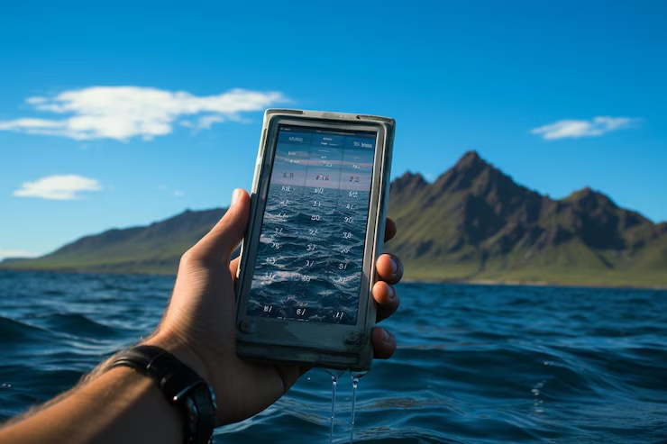
Navigating the open sea is thrilling, but it demands reliable tools. Whether you’re a seasoned sailor, a weekend boater, or a curious kayaker, having a solid marine navigation app can make a world of difference. Your Android device is more powerful than you think, and with the right app, it can serve as your digital compass, GPS, and marine chart all in one.
With so many options on the Play Store, it can be hard to separate the best from the rest. That’s why we’ve done the heavy lifting for you. In this detailed guide, we’re diving into the top marine navigation apps for Android to help you find the one that fits your needs. From fishing trips to offshore voyages, these apps can help you chart your course with confidence.
Let’s explore what makes a marine navigation app worth using and which ones you should download today.
Why Marine Navigation Apps Matter
When you’re out on the water, things can change fast. Weather conditions, tides, and unexpected obstacles can make even the shortest trip a challenge. A dependable marine navigation app turns your Android phone or tablet into a powerful navigational aid.
Here’s why these apps are essential:
- Real time GPS tracking: Know exactly where you are at all times
- Marine charts and topographic maps: Access to official NOAA charts and other global data
- Weather and tide integration: Plan your trip with forecasts and tide tables
- Offline access: Navigate even without cellular signal
- Route planning and tracking: Keep records of your voyages and plot safe routes
These apps are more than just maps. They are safety tools that help reduce risk and increase awareness while you’re on the water.
What to Look for in a Marine Navigation App
Not all navigation apps are created equal. The best marine navigation app for Android should offer a mix of accuracy, usability, and essential features for marine travel. Here’s what you should consider when choosing one:
1. Chart Quality and Coverage
Make sure the app offers high resolution marine charts that are regularly updated. Look for support for NOAA, Navionics, or CMOR chart formats.
2. Offline Functionality
Out at sea, cell signals are unreliable. An app that lets you download maps for offline use is a must.
3. Ease of Use
An intuitive interface can save time and stress, especially during high-pressure situations like docking or navigating a tricky channel.
4. Real Time Information
Weather updates, AIS tracking, and tide data are invaluable when planning your route and avoiding hazards.
5. Compatibility and Cost
Some apps are free with optional upgrades, while others require subscriptions. Make sure it fits your budget and is compatible with your Android version.
Now that you know what to look for, let’s get into the list of the best marine navigation apps for Android users.
1. Navionics Boating Marine & Lakes
When talking about the best marine navigation app for Android, Navionics is often at the top of the list — and for good reason. Owned by Garmin, this app brings professional-grade navigation tools to your phone with remarkable precision.
Key Features:
- Highly detailed charts including NOAA, SonarChart, and Community Edits
- Offline map downloads for worldwide cruising
- Advanced route planning with auto-routing capabilities
- Daily chart updates for accurate information
- Integration with AIS for vessel tracking
Navionics is ideal for everyone from casual boaters to offshore cruisers. The app supports route recording, sonar overlays, weather forecasts, and tide data. It’s not the cheapest option, as it requires an annual subscription, but the value it delivers is worth the investment.
Best For:
Serious sailors, anglers, and cruisers who need comprehensive tools and global chart coverage.
2. Savvy Navvy
Often referred to as the “Google Maps for boats,” Savvy Navvy makes navigation simple and visual. The user interface is clean, and the app is particularly helpful for newer boaters or anyone who wants an easier way to plot routes.
Key Features:
- Easy drag-and-drop route planner
- Automatic route suggestions based on wind, tide, and vessel type
- Marine weather forecasts integrated into the chart view
- GPS tracking with course and speed overlays
- Support for offline maps
While it’s not as deeply technical as some other apps, Savvy Navvy excels in user experience. Its modern design makes it accessible, and it still includes important data like marina details, wind forecasts, and AIS compatibility.
Best For:
Recreational boaters and beginners who value simplicity and smart navigation suggestions.
3. Aqua Map Marine
Aqua Map is a feature rich navigation app designed with serious boaters in mind. It offers a professional toolset with the flexibility to customize charts and overlays.
Key Features:
- Official NOAA charts with additional satellite overlay options
- Anchor alarm and GPS logging
- USACE inland river charts for freshwater cruising
- Route planning and GPX file support
- Offline chart access
Aqua Map stands out with its user controlled layers and adjustable overlays. It also integrates with ActiveCaptain and AIS devices, making it a great choice for longer passages or inland river navigation.
Best For:
Sailors and boaters who want full control over chart layers and a reliable navigation system without an overly complex setup.
4. C-MAP: Boating
C-MAP has long been a trusted name in marine navigation, and their Android app continues that legacy with strong features and global chart coverage. The app is sleek and easy to navigate, making it a go-to for many boating enthusiasts.
Key Features:
- High quality vector charts optimized for mobile
- Autorouting that considers depth and tides
- Personal waypoints, routes, and track recording
- AIS and weather overlays
- Offline map downloads for worldwide access
C-MAP also offers an intuitive community layer that lets users share local knowledge and chart edits. It’s particularly useful in regions where local updates can provide real-time insights into shoaling or changes in harbor conditions.
Best For:
Global cruisers and local boaters looking for professional level navigation with community input.
5. i-Boating: Marine Charts & GPS
i-Boating offers one of the most extensive marine and lake chart databases available. It’s packed with features that rival some of the bigger names in the industry, but it often flies under the radar.
Key Features:
- NOAA and global vector charts with bathymetric data
- Turn-by-turn voice guided navigation
- Offline maps and GPS tracking
- Nautical distance calculator and route planner
- USACE inland river charts and lake depth maps
The app’s voice navigation is a standout feature that makes following a route hands free. Whether you’re fishing, cruising, or kayaking, the detailed waterbody coverage and offline tools make this a solid companion.
Best For:
Freshwater and saltwater boaters who want voice navigation and detailed inland mapping.
6. SeaPilot
SeaPilot was designed with a strong emphasis on commercial standards. Originally developed in Sweden, the app supports both recreational and professional mariners with features that mirror what’s found on commercial vessels.
Key Features:
- Professional grade S-57 ENC charts
- AIS integration to see nearby vessels in real time
- Weather routing tools including wind, currents, and forecasts
- Night mode and adjustable overlays
- Route and waypoint syncing across devices
SeaPilot works great for offshore trips and regattas, especially in Nordic and European waters. It supports a wide range of integrations, including external GPS units and NMEA data input.
Best For:
Offshore sailors and professional mariners who want AIS and ENC charting capabilities.
7. MarineTraffic
If vessel tracking is your main concern, MarineTraffic is the gold standard. While it’s not a traditional chart plotter, it provides real time AIS data that’s incredibly valuable for navigation in busy waterways or while waiting for a berth in a port.
Key Features:
- Real time AIS vessel tracking worldwide
- Detailed ship information including course, speed, and type
- Port arrivals and departure schedules
- Route history and playback
- Weather overlays and coastal maps
MarineTraffic is best used in combination with other navigation apps. It provides a wide-angle view of marine activity, making it ideal for commercial captains, harbor operators, or anyone navigating near shipping lanes.
Best For:
Boaters who want real time ship tracking and commercial traffic monitoring.
8. OpenCPN (Android Port)
OpenCPN is well known in the cruising community as a free and open source marine navigation software. The Android version, while not officially developed by the main team, offers many of the same core features.
Key Features:
- Support for raster and vector charts (NOAA, CM93, etc.)
- GPS positioning with NMEA integration
- AIS and radar overlays via plugins
- Waypoint and route planning tools
- Offline chart use and backup storage
Because OpenCPN is open source, it offers a high level of customization. You can load your own charts, configure plugins, and tailor the interface to your needs. It’s not the most beginner friendly option, but for tech savvy sailors, it’s incredibly powerful.
Best For:
DIY cruisers, tech savvy mariners, and sailors who want to build their own chart setup.
9. NavGlow Marine Navigator
NavGlow Marine Navigator is a lesser known app that packs a surprising amount of functionality into a lightweight package. It’s especially popular among inland and coastal boaters who need simplicity without sacrificing accuracy.
Key Features:
- GPS tracking and course plotting
- Raster chart support with NOAA map compatibility
- Easy route management with waypoint import/export
- Offline capabilities for remote areas
- Speed, heading, and ETA calculations
While it lacks some of the flashier features like AIS or weather overlays, NavGlow makes up for it with reliability and ease of use. It’s especially good for day trips and local waters where you just need essential tools that work.
Best For:
Local and regional boaters who need straightforward navigation tools without clutter.
10. Boat Beacon
Boat Beacon stands out as a unique entry in the list, offering real time AIS tracking without needing a physical AIS receiver. It’s ideal for safety, especially in congested waters or when visibility is low.
Key Features:
- Real time ship positions using AIS data
- Collision detection alerts with CPA (Closest Point of Approach) calculations
- GPS tracking and sharing
- Works seamlessly with other navigation apps
- Weather data and sea state reports
Boat Beacon excels as a secondary app for monitoring traffic around you. It’s a favorite among solo sailors and smaller boat operators who don’t have full AIS hardware onboard but want the situational awareness it provides.
Best For:
Solo sailors, safety conscious cruisers, and anyone boating in high traffic areas.
11. Fishing Points
While not a traditional marine navigation app, Fishing Points is a top pick for anglers who need precise positioning and water condition data to plan a successful trip. It focuses more on fishing spots, tides, and solunar data but includes useful navigation tools too.
Key Features:
- GPS marking for fishing spots, docks, and launch sites
- Tidal charts, solunar forecasts, and moon phases
- Offline nautical maps and satellite views
- Route tracking and catch logs
- Wind and wave forecasts
If your time on the water revolves around casting lines, Fishing Points blends navigation with sport utility in a thoughtful way. It won’t replace full chartplotters, but it’s a solid companion for fishing trips.
Best For:
Anglers and weekend boaters who want a hybrid app for fishing and navigation.
12. Comparing the Best Marine Navigation Apps for Android
To help you choose the best marine navigation app for Android based on your needs, here’s a quick breakdown by category:
| App Name | Best For | Offline Charts | Free Version |
|---|---|---|---|
| Navionics | Professional marine navigation | Yes | Limited |
| Savvy Navvy | Simple and intuitive route planning | Yes | Yes |
| Aqua Map | Chart layering and customization | Yes | Yes |
| C-MAP | Global chart coverage with auto-routing | Yes | Yes |
| i-Boating | Voice guidance and bathymetric data | Yes | Yes |
| SeaPilot | Offshore sailing and ENC charts | Yes | Yes |
| MarineTraffic | Real time vessel tracking | Limited | Yes |
| OpenCPN | DIY chart setups and plugins | Yes | Yes |
| NavGlow | Simplicity and speed calculation | Yes | Yes |
| Boat Beacon | Virtual AIS for safety | Yes | Limited |
| Fishing Points | Fishing spot tracking and tides | Yes | Yes |
This table should help narrow down your selection. Think about your specific needs—whether it’s safety, fishing, or long distance sailing—and pick an app that aligns with your priorities.
Choosing the Best Marine Navigation App for Android
At the end of the day, the best marine navigation app for Android is the one that fits your style of boating and your level of experience. Some apps shine with high end features and global charts, while others keep it simple and focused on just what you need.
If you’re a serious sailor or offshore voyager, Navionics or C-MAP are hard to beat. If you’re a weekend cruiser or beginner, Savvy Navvy might be your best friend. And for those who just want to track ships or fish smarter, there are dedicated apps for that too.
Make sure to test a few options, check for compatibility with your device, and always keep your charts updated. And no matter which app you choose, remember that nothing replaces good seamanship and a properly equipped vessel.
FAQs
1. Can I use marine navigation apps without an internet connection?
Yes. Most apps like Navionics, Aqua Map, and i-Boating allow you to download charts for offline use so you can navigate without cellular service.
2. Do marine navigation apps replace traditional chartplotters?
They can supplement or even replace chartplotters for many recreational users, but professionals and long distance cruisers often still use dedicated hardware for reliability.
3. Are these apps suitable for kayaking or small watercraft?
Absolutely. Apps like Fishing Points and NavGlow are lightweight and work great for kayaking, paddle boarding, or canoeing with GPS-enabled smartphones.
4. Which app is best for AIS vessel tracking?
MarineTraffic and Boat Beacon are excellent for real time AIS vessel tracking. SeaPilot also provides AIS integration for advanced use.
5. Are marine navigation apps expensive?
Some apps are free with optional upgrades, while others offer annual subscriptions. Prices vary, but many offer excellent value compared to traditional marine electronics.
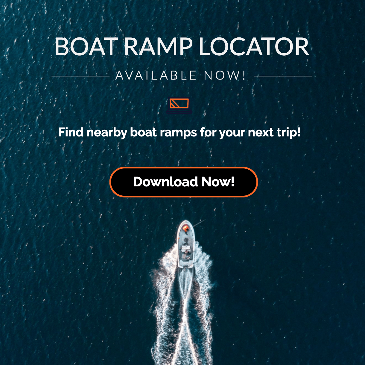
Looking for boat ramps near you? Use our free app to find launch locations with facility info and directions. Save your favorite boat ramps for quick access anytime. Download Boat Ramp Locator on Google Play.
Join our newsletter!
Enter your email to receive our latest newsletter.
Don't worry, we don't spam
Related Articles
-
 Sat Jul 19 2025
Guide to Boat Ramps in Tampa Bay
Tampa Bay has no shortage of accessible boat ramps, and many of them are open around the clock.
-
 Sat Jul 12 2025
Top 10 Hotels With Boat Docks in the Florida Keys
Finding a hotel that also offers boat docking can turn a good trip into an unforgettable seafaring a
-
 Wed Jul 09 2025
How to choose the best boat ramp on the Suwannee River for your boat size.
The Suwannee River is a legendary waterway in North Florida, winding through cypress forests, limest